Surveying and Spatial
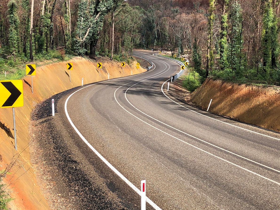
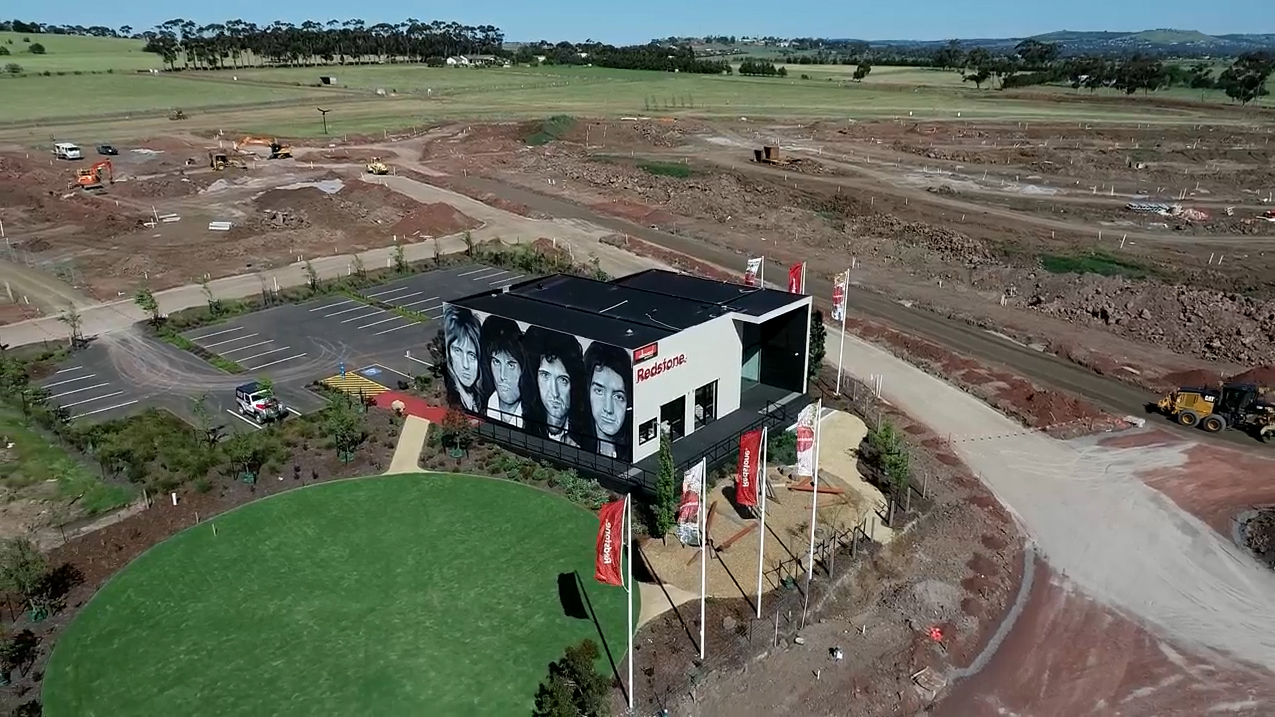
Our Surveying and Spatial services include engineering and infrastructure surveying, cadastral surveying, construction surveying and spatial solutions.
View Full WidthLocal surveyors
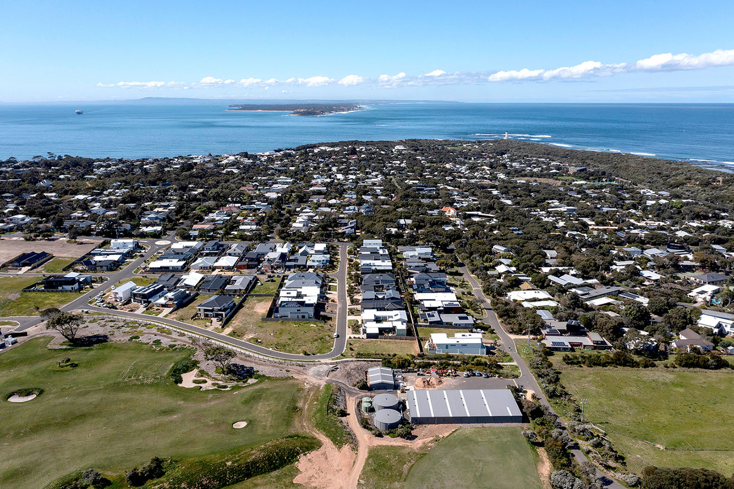
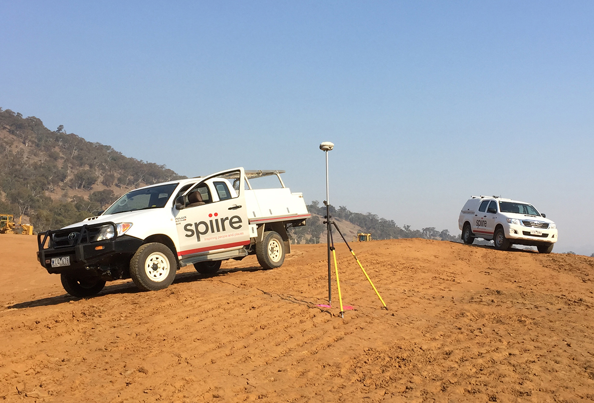
We provide a range of surveying services for property and infrastructure projects from our offices in Melbourne, Canberra, Geelong, Ballarat, Bendigo, Shepparton, Gippsland and Albury / Wodonga.
With our experienced and technically diverse team of surveyors, we provide tailored surveying and spatial solutions across all phases of the project lifecycle.
We believe we are different because we are embedded in our local communities, we work collaboratively with a strong focus on project outcomes, and we have deep connections to the wider survey industry.

Who we are
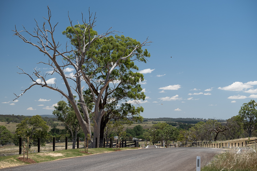
We are local
At Spiire, we’re not just a team of surveyors; we’re embedded within and have strong connections to our local communities. Our deep understanding of each of our regions allows us to tailor our surveying and spatial services to meet the unique needs of each project. Whether it’s land development, infrastructure, or environmental planning, we’re committed to making a positive impact on the places we work and live.
Many of our regional offices have longstanding, well-established local teams, led by highly experienced surveyors including Stuart Mason in Albury, Mark Sargent in Shepparton and Nathan Farrell in Ballarat, who have lived and worked in their communities for many years.
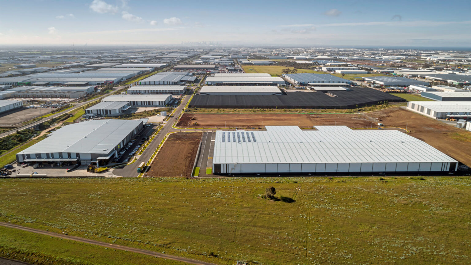
We are focused on project outcomes
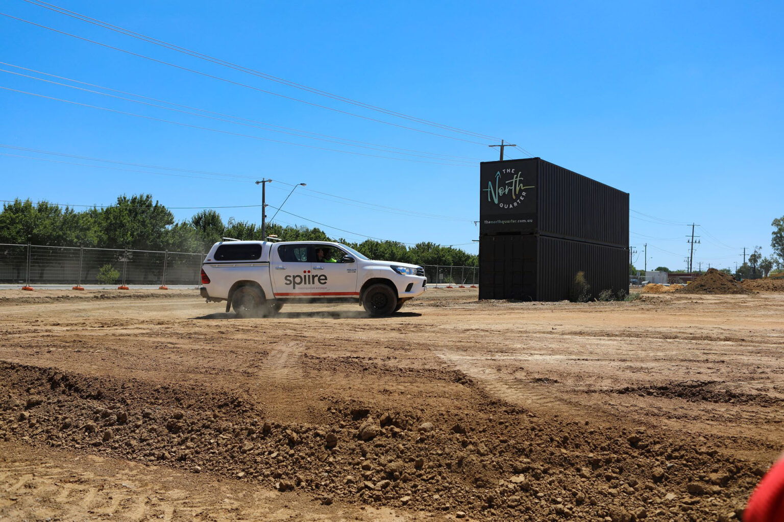
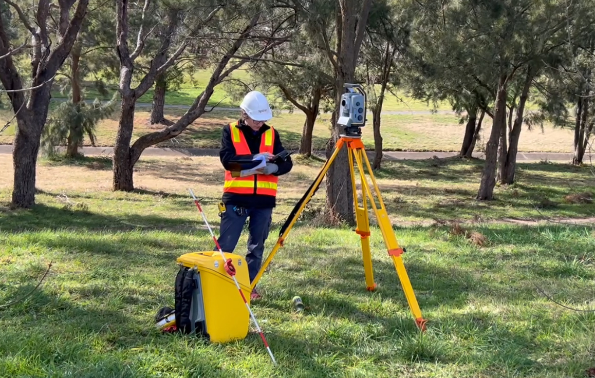
With a team of more than 50 surveyors spread across our offices, we have the capacity to deliver projects of all scales within a timely manner. We never lose sight of the importance of delivering accurate, high-quality data that is appropriate and fit for purpose. Our Surveying and Spatial professionals combine well-established fundamentals with effective workflows to ensure professional assurance and successful project delivery outcomes.
We continually invest in the latest survey technology and software, which is shared across all offices. Across our network, we take a consistent approach to office to field workflows, training programs for all Survey staff and the deliverables we provide to our clients.
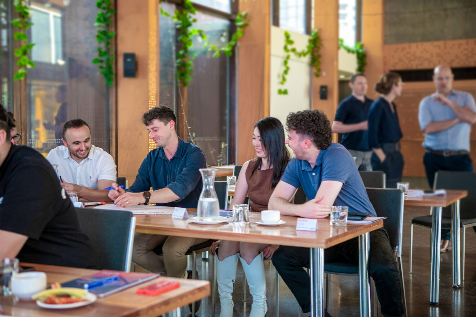
We work together
Collaboration is at the heart of what we do. Our team thrives on synergy, combining our diverse range of skills and perspectives to tackle complex challenges. Whether it’s coordinating with architects, engineers, or local authorities, we believe that great results come from working together seamlessly, while always keeping our clients front of mind.
This entrenched culture of working together as one team means we can share resources and place people where they’re needed to deliver project outcomes. These internal opportunities for project and office secondments also give our people the chance to expand their skillsets and networks.
We are connected to the industry
Our team is deeply connected to the industry and active members of key professional organisations, such as the Urban Development Institute of Australia (UDIA), Consulting Surveyors National, Institution of Surveyors Victoria (ISV) and Institution of Surveyors NSW (ISNSW). We also maintain longstanding relationships with local councils and relevant authorities, ensuring we deliver forward-thinking, innovative outcomes for our clients.
Individual surveyors within our team give their time to industry bodies, including Mark Sargent who sits on the ISV Board and Hannah Pearce, who regularly presents to industry conferences in the ACT/ NSW region.