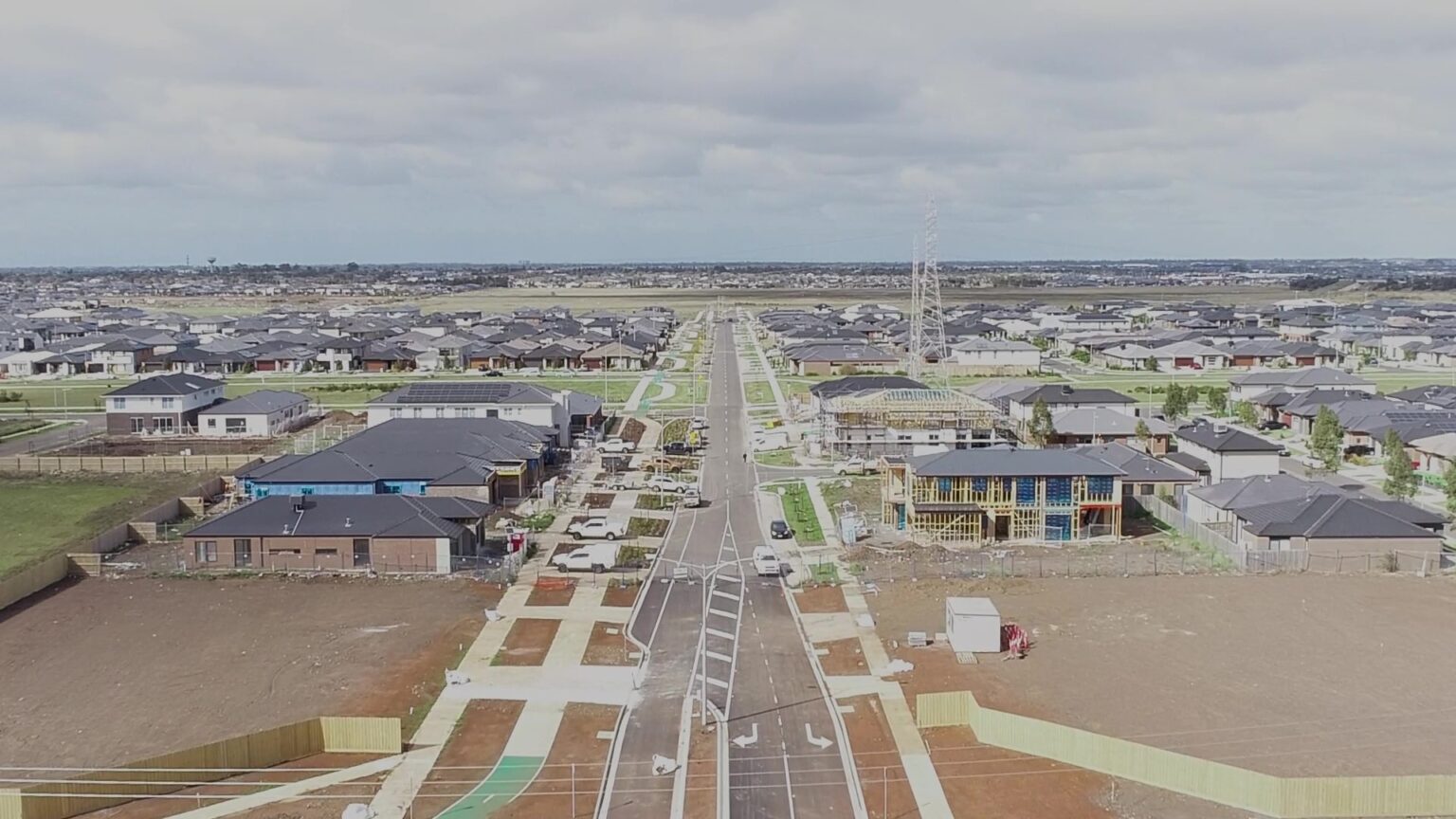
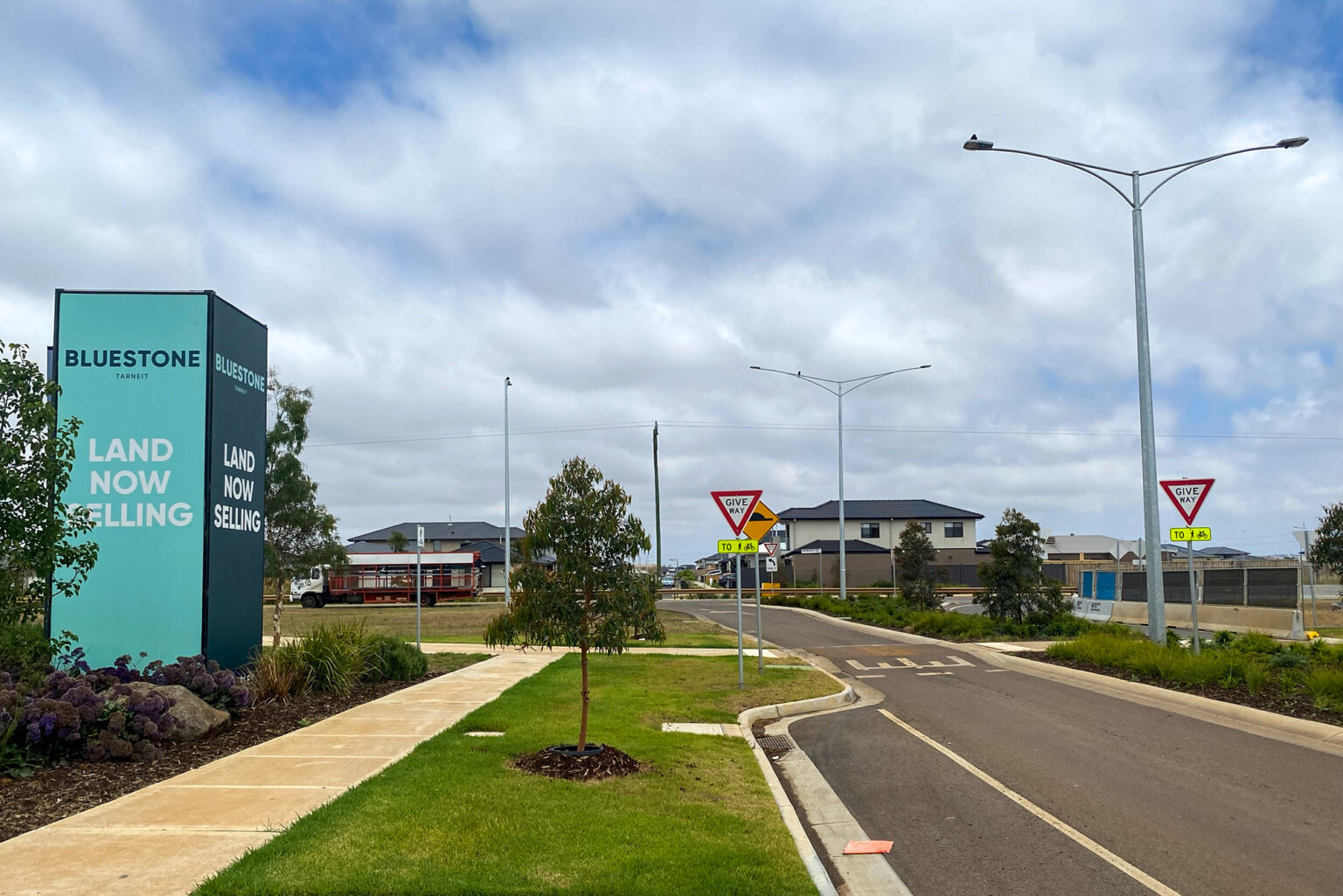
Wianamatta South Creek Spatial Analysis, Sydney
Previous: The North Quarter, Shepparton
Next: Echuca Fields

Wianamatta South Creek Spatial Analysis, Sydney

Client

NSW Department of Planning and Environment

Location

Western Sydney, NSW

Spiire and our partner To Good Use were engaged by the Department of Planning, Industry and Environment (DPIE) to help develop a decision-making model for a business case and delivery strategy for Wianamatta South Creek.

This 80km waterway system flows through the Western Parkland City area of Greater Sydney and has a catchment of more than 62,400 hectares. It’s located in a significant growth corridor which includes the future Western Sydney International Airport and surrounding Aerotropolis.

Our team conducted a spatial data-led assessment of all sites within the Wianamatta South Creek precinct defined in the Western Sydney Aerotropolis planning area. We used this information to establish a categorisation framework, and a prioritised list of sites and options packages to inform recommendations for acquisitions and alternatives to acquisition. Through this process, we created a principle-based toolkit that could be used by other entities for future acquisitions.

Through our highly collaborative approach, we engaged with diverse stakeholders at the Commonwealth, State and Local Government level. We took a broad range of drivers into consideration to establish the right type of scorecard approach that was easy to implement and understand while being informative enough to prioritise options. Our team worked with DPIE to include a higher level of information than originally anticipated in the decision model and scorecard, to ensure it delivered to the required standard/s.

Prioritisation of the land was developed in close consultation with stakeholders, in conjunction with the economic and property feasibility consultants. Based on the spatial datasets we also considered the various indicators established by the Greater Sydney Commission, Councils’ Local Strategic Planning Statements, the Premier’s Priorities, work around the Ochre Grid and connection to Country, the draft 50-year Vision for Open Space and Parkland, the public spaces charter, and the blue and green grid infrastructure being undertaken for the Western Parkland City.

Using our digital decision framework, we developed a methodology report and dashboard interface that streamlined the interaction for the DPIE and their stakeholders. This digital delivery can also be used for future decision making as the information is overlaid in a digital environment providing a variety of lenses that produce different insights based on the user’s needs.

Through our capability in land use and development optioneering, workshop facilitation and digital delivery, we were able to deliver this project efficiently and effectively.

Digital Advisory, Data Science and Analytics

Want to know more?

To learn more about the services we offer click here.

related projects

Interested In How Spiire Can Help You?

Enquire Now