Our work with Barwon Water revitalising the former site of the Bellarine Basin won the Integrated Stormwater Design category in the Stormwater Australia and Stormwater Victoria awards in 2024.
Client
Barwon Water
Location
Bellarine Peninsula, VIC
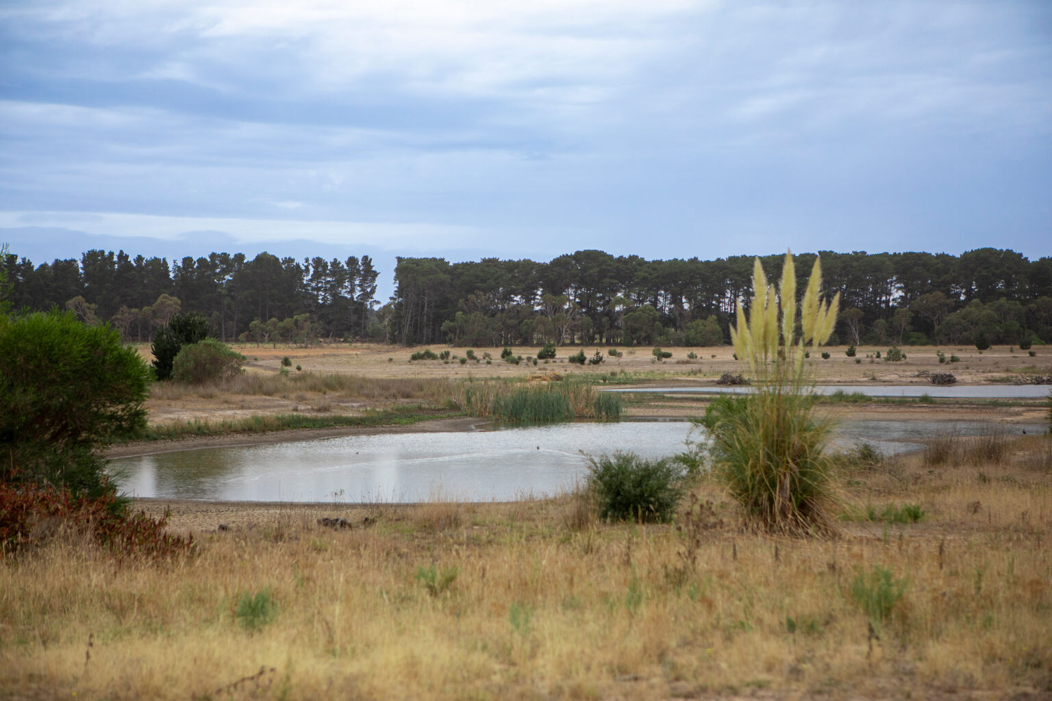


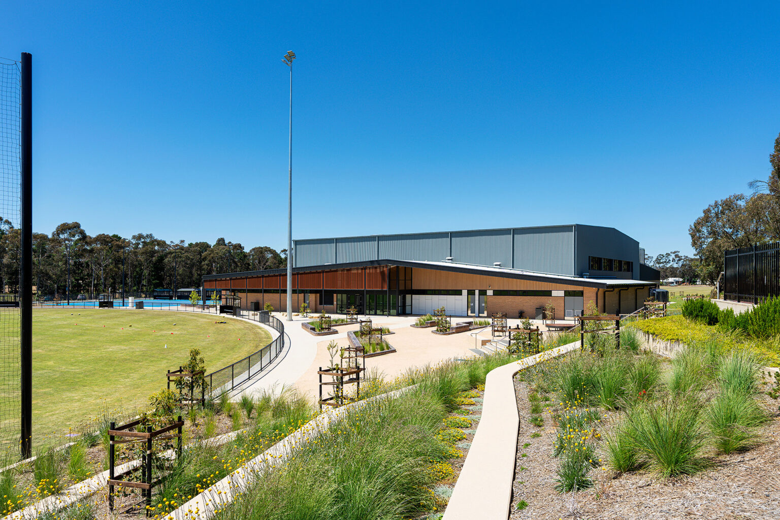
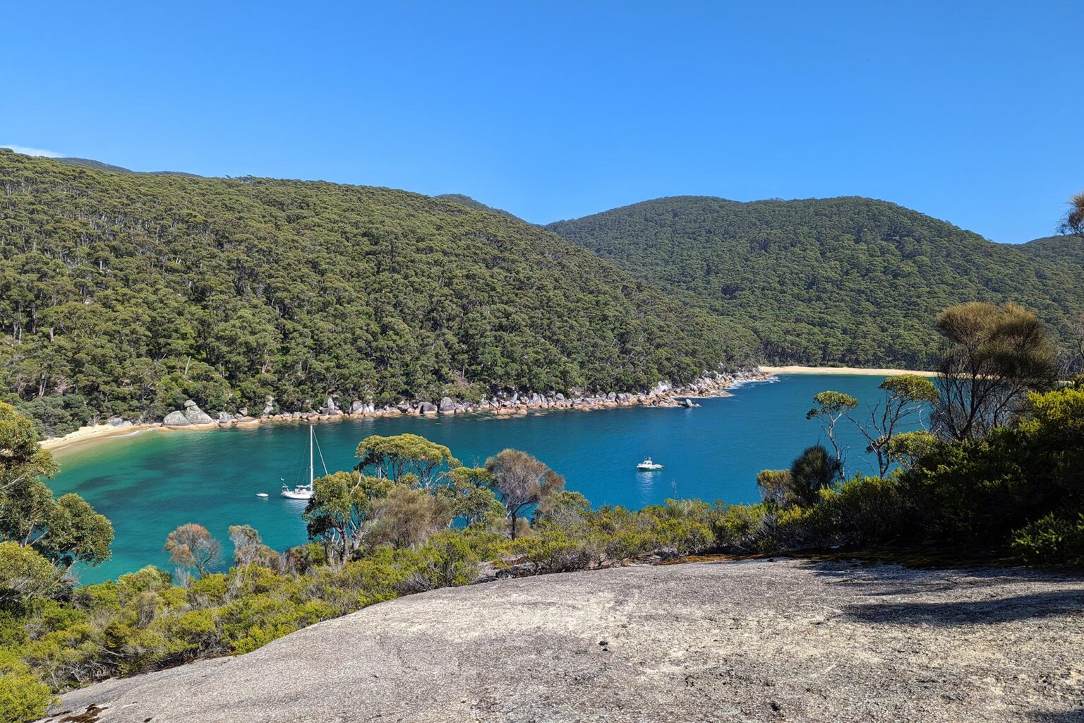
Barwon Water is transforming the site of the former Bellarine Basin into more than 30 hectares of environmental and public open space. The vision is to create a unique and inclusive community place, where people can respect and enjoy culture, nature and recreation.
It is now called Murrk Ngubitj Yarram Yaluk, meaning ‘headwaters of continuous flowing river’ in Wadawurrung language.
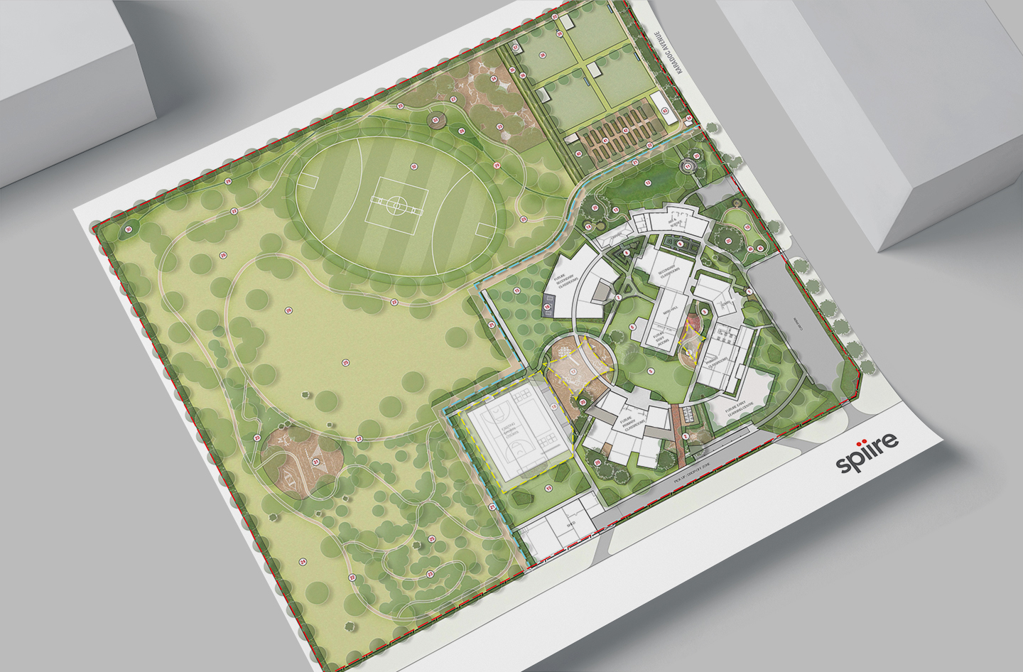
Barwon Water undertook three stages of community consultation in order to determine the vision, principles and objectives, approved activities and development of the site’s Masterplan. This was informed by an advisory group including the Wadawurrung Traditional Owners Aboriginal Corporation, Corangamite Catchment Management Authority, Department of Environment, Energy and Climate Action and City of Greater Geelong.
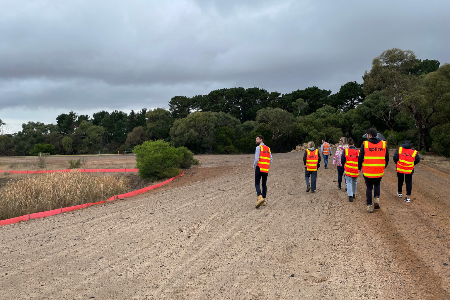
To facilitate this new amenity for the Bellarine and Greater Geelong community, Spiire designed the realignment of Yarram Creek and the rehabilitation of the former basin site located on the corner of Grubb and Swan Bay Roads in Wallington.
Our history with the site dates back to the initial concept for revitalisation. Through strategic advice about the potential to repurpose multiple surplus Barwon Water sites across the Greater Geelong region, the former basin was identified as an opportunity to create a significant public amenity.
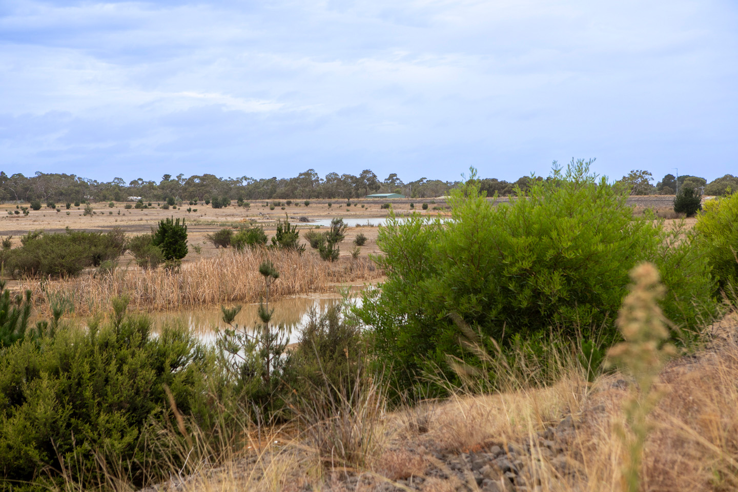
The starting point for the design team included a dam wall that interrupted Yarram Creek’s original course. This created a levee that diverted the creek around the site.
The industrialised trapezoid channel was typical of the era, where stormwater management focused on moving runoff away quickly, without considering the subsequent impacts on the environment and biodiversity.
This first phase of the restoration initiative was completed in 2022, when the Yarram Creek was connected back to its original course.
Our local Water Engineering team led this crucial phase of the wider revitalisation project, coordinating inputs from internal Civil Engineering, Landscape Architecture and Survey teams, alongside external consultants.
Our approach
Our design was driven by the challenge of restoring natural habitat and enhancing biodiversity values into the future.
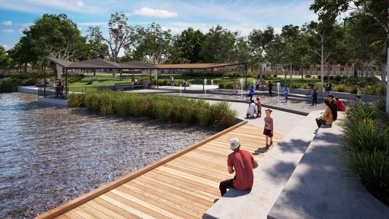
Sub-consultant Arcadis ecologists developed a habitat strategy as a basis for achieving optimal ecological outcomes. This informed the design of bodies of water, such as a new ephemeral lake, which was tailored to accommodate landing and take-off for the black swan.
The lake also evolved partly in response to site constraints, after demolishing embankments yielded insufficient materials to fill in the footprint of the former water basin. The lake design includes adequate flow to promote water aeration and circulation, and depth to keep temperatures stable, reducing the potential for growth of bacteria that produces avian botulism and algal blooms.
We conducted thorough stormwater and water balance modelling to develop solutions that would echo the site’s natural form.
Three waterway channels were constructed, one from the inlet weir downstream of an existing wetland, and two to convey flows from culverts under Swan Bay Road.
The channel leading from the inlet weir to the lake was designed with a rock chute that flows into a sinuous channel with a pool and riffle sequence. This design is in line with the ecological advice to produce a meandering creek line with low gradient and velocities.
The lake outfall was designed in consultation with the Barwon Water operations team, as its alignment crosses existing services including water mains, which provide drinking water to towns across the Bellarine Peninsula. A weir and culvert outfall configuration was designed to protect these assets.
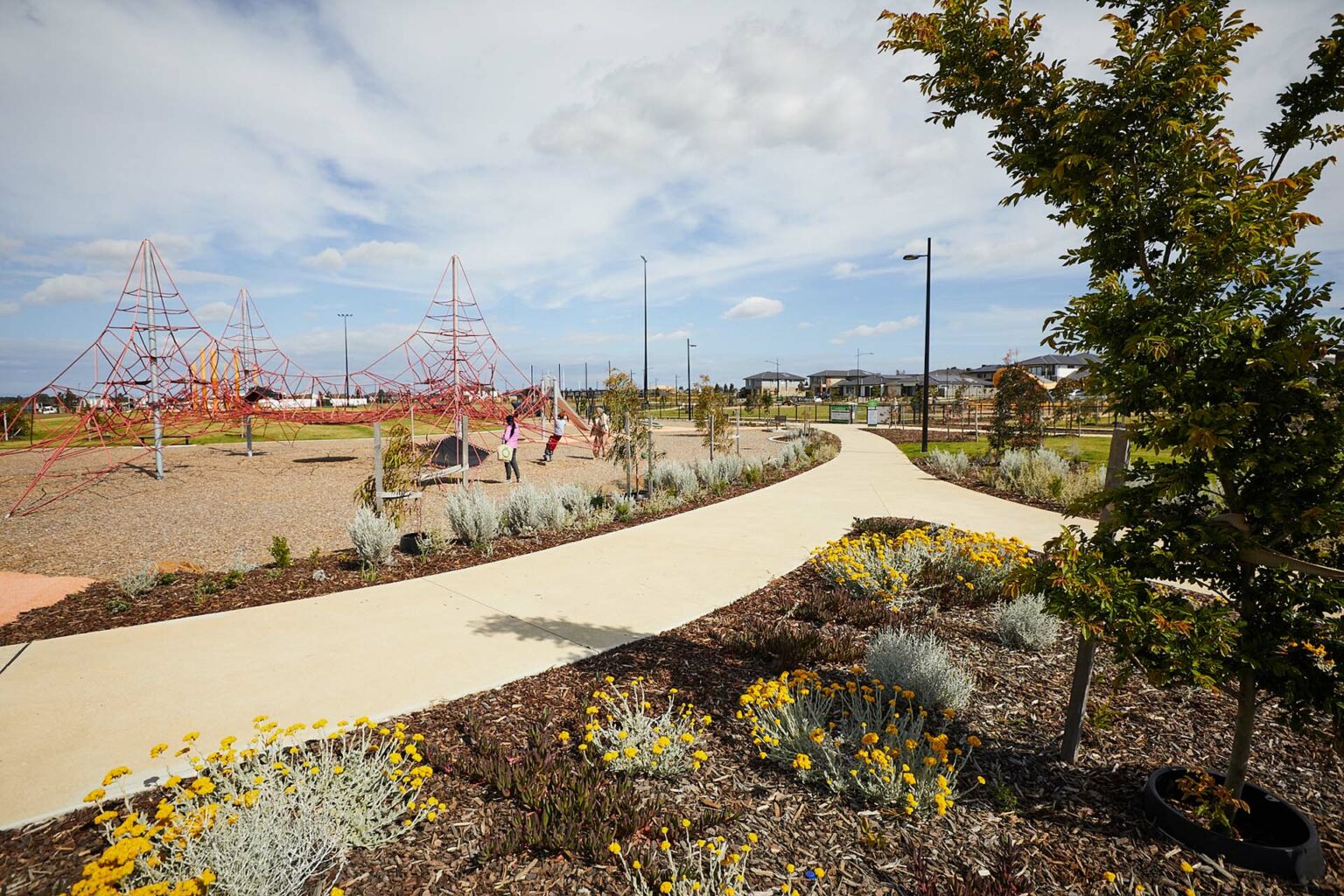
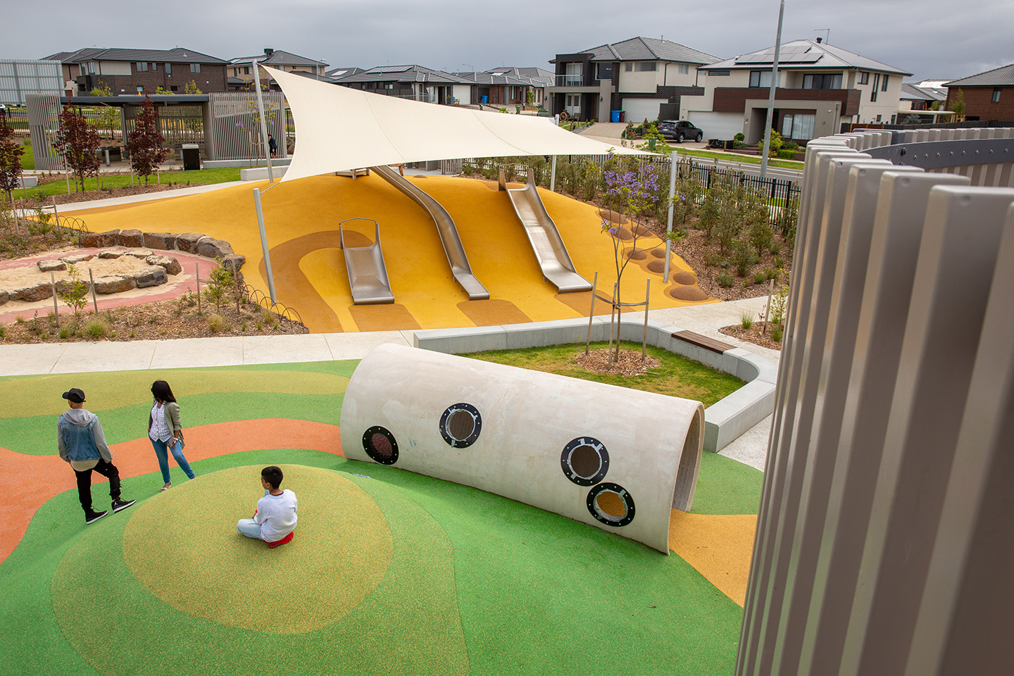
Community placemaking
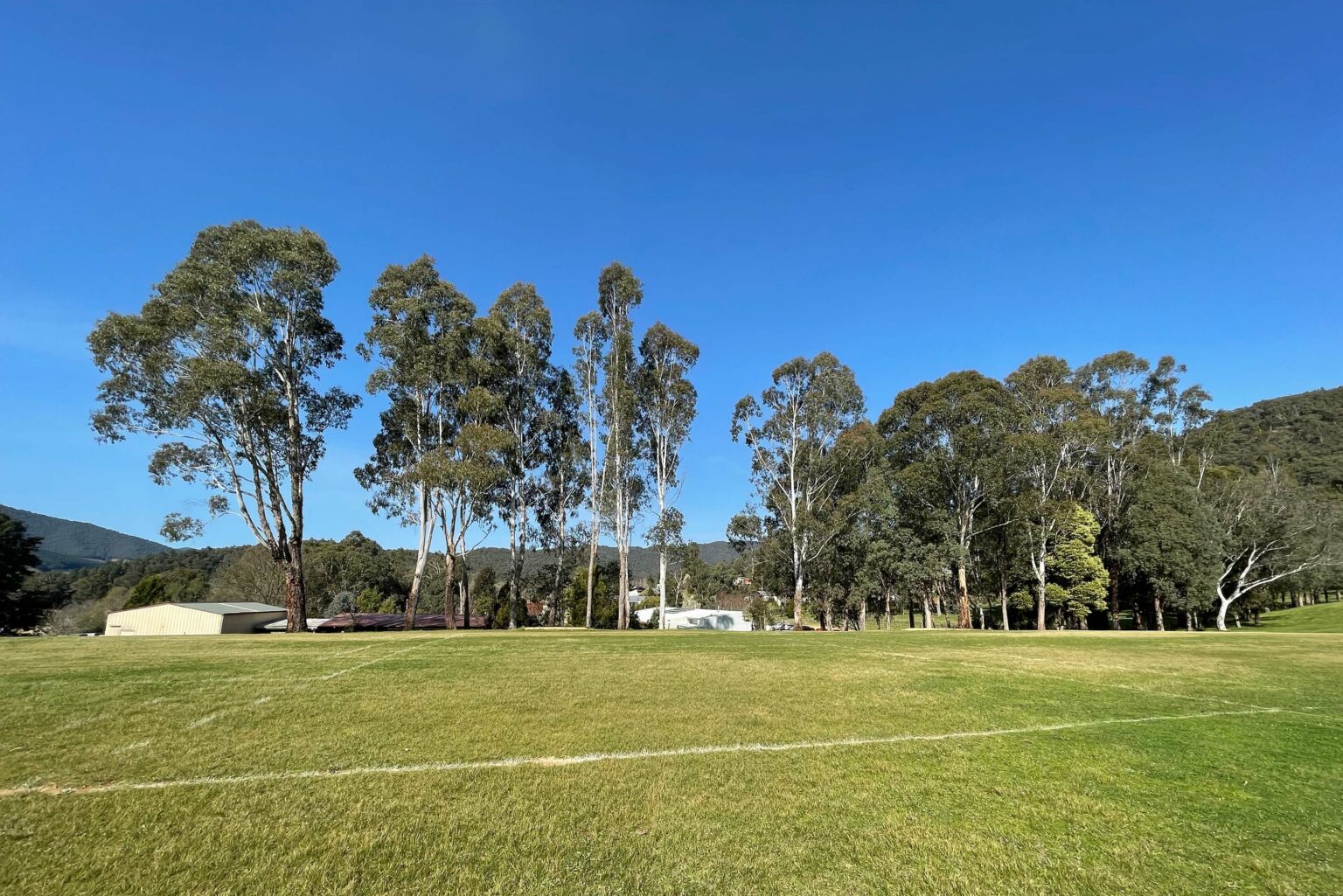
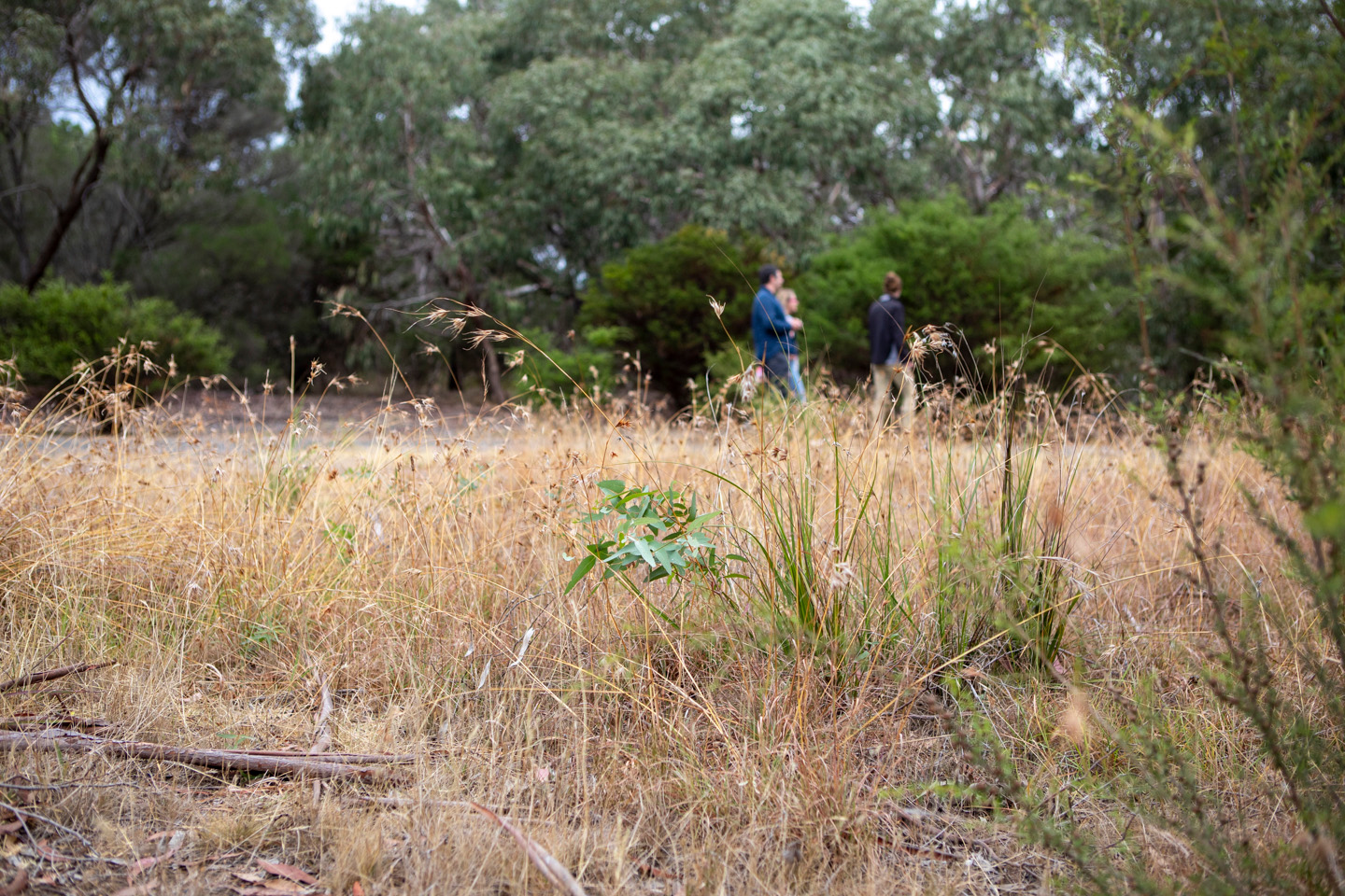
A place that was formerly inaccessible to the community can now be transformed into a space for people to connect with nature, adding to the character of surrounding communities.
The site remediation works have enabled Barwon Water to plan a series of vegetation regeneration activities and new public facilities such as walking trails and safe access points in the years to come.
A focus on bush regeneration methods, rather than planting, seeks to allow the existing seed bank of indigenous plants to germinate. To facilitate this and preserve the seed bank, the construction works did not remove or bring any new materials onto site.
Sharing cross-discipline knowledge
One team
Delivering this project was a collaborative effort led by our Water Engineering team that benefited from the specialist knowledge of our internal Civil Engineering, Survey and Landscape Architecture teams.
Surveying and Spatial
Local surveyors from our Geelong office completed the feature survey and undertook a title re-establishment for a road constructed on Barwon Water land, rather than in the existing road reserve.
About
Civil Engineering
Our Civil Engineering team designed the new culvert structures used to restore the historic waterways with a larger and more natural water flow. Hydro excavation aided the process, which mapped out the existing complex services and minimised disruption to the still active water supply depot on site.
About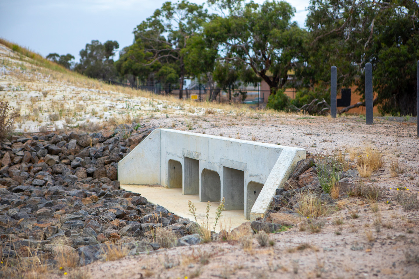
Landscape Architecture
Landscape architecture advice from our internal team helped to guide the location and positioning of future assets, to help the design complement the existing high biodiversity values of the site and precinct.
About