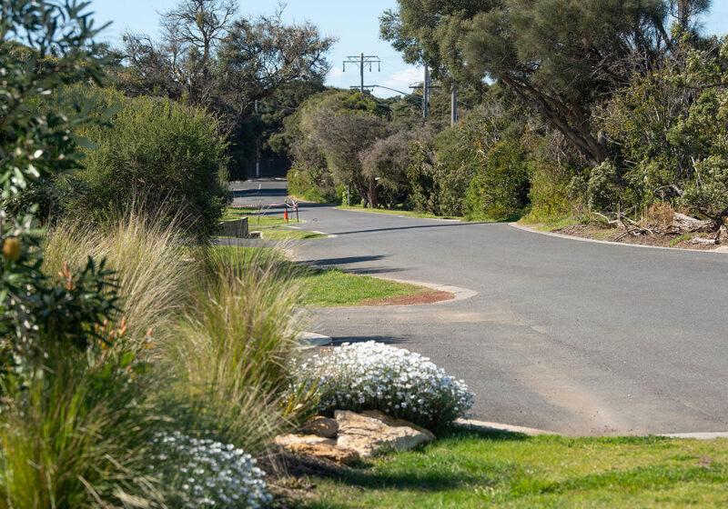
Our local Surveying team worked with Albury City Council to capture thermal information to inform the Council’s Tree Planting Scheme. The data we captured helped the mapping of thermal information for Albury City Council with their Tree Planting Schemes. To show the effect planting location has on shade coverage and temperatures, at a street and pedestrian level within an urban environment.
Central to our vision was to provide spatially accurate thermal mapping imagery to assist Tree Planting Schemes in unshaded areas.
A main challenge was to time the field capture to maximise the differentiating heat values. As a result, truly representing the data during extreme heat. This is a very new methodology, and was untested for Spiire – as well as potentially no one else in the industry.
Breaking ground with innovative workflow for capturing and analysing this type of information. The vision is to capture more streetscapes using this methodology to assist in other areas of concern.
The project was deliverable through Point Cloud, HDR and Thermal Imagery data. Delivered in LGS format, along with a setup file for Leica Jetstream Viewer Software. The project captured the field work and delivered a desktop product. Therefore, the client can further use, interrogate and measure specific features themselves.